


Franklin, North Carolina isn't on most road-trip lists, which is a large part of its appeal. The town of about 3,500 sits in a bowl at 2,100 feet in Macon County, ringed on three sides by the Nantahala National Forest — 531,000 acres of public land with free hiking, several waterfall destinations, and a 26-mile stretch of the Appalachian Trail running through the county. The gem-mining operations (Franklin calls itself the Gem Capital of the World, not without reason) add an activity that barely exists anywhere else. And the whole trip stays cheap because there's no resort infrastructure: Franklin is a working mountain town, and its prices reflect that.
The Nantahala National Forest: What's Free
The forest surrounding Franklin charges no entrance fee and requires no permit for most activity. Hiking, waterfall access, and general recreation on national forest land are free by default.
Wayah Bald (5,342 feet) is a 45-minute drive from town on maintained forest roads, paved to within 2 miles of the summit; the observation tower delivers a 360-degree view across several county lines on a clear day, and the hike from the trailhead parking is only 1.6 miles round trip with 400 feet of gain. Rufus Morgan Falls is a 0.75-mile walk from a forest-road pullout to a 75-foot waterfall — no fee, no permit. Wesser Bald (4,627 feet) sits on the Appalachian Trail, reached from a parking area on the Nantahala Gorge road about 30 minutes out, with a 4-mile round-trip hike and 1,400 feet of gain to the fire-tower summit.
The Appalachian Trail and Gem Mining

The Appalachian Trail crosses Macon County for 26 miles, meeting several road points where day hikers can step on without a permit. Winding Stair Gap, on US-64 about 5 miles west of Franklin, is the common entry, with a small lot; the trail heads south toward Rock Gap and north toward Wesser, both good ridge walking. Outside the Memorial-Day-to-Labor-Day thru-hiker window, day hikers rarely meet crowds here. Because the road crossings are spaced along the ridge, you can build an out-and-back of almost any length: a gentle two-mile round trip to a viewpoint, or a longer push toward a bald if you want the elevation.
Gem mining is Franklin's signature. The operations let you sift native dirt from local mines and keep whatever turns up — real rubies, sapphires, garnets, and other semi-precious stones from actual local deposits, with the day's finds depending on what load the mine is running. Places like Mason Branch Mine, Sheffield Mine, and Old Cardinal Gem Mine charge roughly $10 to $30 per bucket, so confirm current rates before you go. Rough stones need cutting and polishing to become jewelry, but they're interesting as-is, and the Gem and Mineral Museum of Franklin (open seasonally, small admission) explains what the local geology produces.
Camping and Town Services

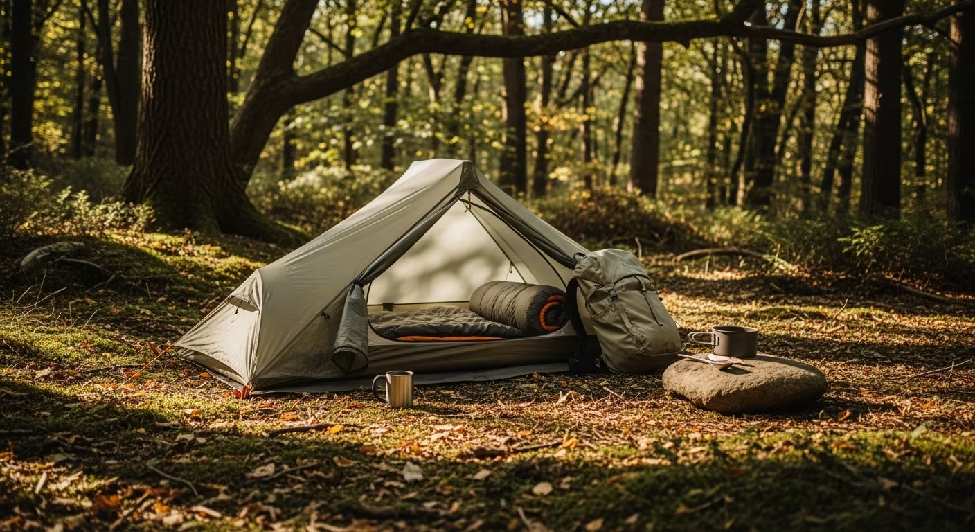
National forest campgrounds are the cheapest base. Standing Indian Campground, 16 miles south of Franklin on the upper Nantahala River, has developed sites for about $22 to $24 a night — verify current rates on the federal recreation.gov booking site — and sits in a river corridor near 3,400 feet, colder than town at night, with the Appalachian Trail passing straight through. Dispersed camping is free and permit-free across most of the Nantahala outside designated wilderness; check with the Nantahala Ranger District for current rules before relying on it.
Franklin's downtown runs a few blocks along Main and Palmer streets. For food, Three Eagles Craft Beer and Pizza and The Lazy Hiker Brewing Company both run brewpubs at mountain-town rather than resort prices, and Main Street Pizza and the diner-style spots along the strip serve full meals under $15. Drive times put Franklin roughly 1.5 hours from Asheville, 2.5 from Atlanta, and 3 from Charlotte, and the northern approach through the Nantahala Gorge on US-64 is one of the most scenic ways into any small town in the Southeast.
The Thru-Hiker Season and What It Adds
Franklin sits about 100 miles into the Appalachian Trail from its southern start in Georgia, which makes it one of the first real resupply stops for northbound thru-hikers. From roughly late March into May the town fills with hikers coming off the demanding Georgia-into-Carolina section to restock food, rest, and repair gear. Outfitters like Outdoor 76 and the Mountain Fresh Grocery serve both locals and this seasonal wave, and some churches and businesses run informal hiker shuttles and hostels during the peak.
For a visitor, the practical upshot is atmosphere and logistics: spring weekends bring a friendly, transient crowd and easy conversation with people who have been walking for weeks, but also fuller campgrounds and busier trailheads near the road crossings. If you want the trails to yourself, aim for June through September or the October color window instead; if you find the thru-hiker culture interesting, early spring is when it's most visible.
Seasonal Timing

The Nantahala hits peak fall color in mid-October, a week or two ahead of the lower zones to the east because of its elevation. Wayah Bald and Wesser Bald in peak color are among the best return-per-mile day hikes in the southern Appalachians. The other seasonal draw is early summer: from late May into July the high heath balds bloom, with catawba rhododendron covering summits like Wayah Bald in June in a mass display visible from neighboring ridges.
Day Trip: The Nantahala Gorge
The Nantahala Gorge, 30 minutes west on US-19, is a 9-mile river gorge cut through the forest. The Nantahala is a Class II–III whitewater river, and outfitters in the gorge run guided rafting for about $35 to $50 per person (confirm current rates locally). If you'd rather not pay, the gorge road also reaches the Nantahala River trailhead, a 9-mile riverbank trail with no outfitter and no fee. The Nantahala Outdoor Center anchors the gorge with a gear shop, several reasonably priced restaurants, and trailhead parking — the most developed recreation hub in the area and a natural base for the day trip. See also: Asheville budget getaway.
The stops, measured:
| Stop | Numbers | Note |
|---|---|---|
| Franklin itself | ~3,500 people at 2,100 ft | ringed by Nantahala National Forest |
| Wayah Bald | 5,342 ft, 45-min drive | paved to within 2 miles of the summit |
| Rufus Morgan Falls | 0.75-mile walk, 75-ft falls | no fee, no permit |
| Appalachian Trail | 26 miles through Macon County | Winding Stair Gap entry ~5 mi west on US-64 |


Comments
No comments yet.